
Self-host MBCompass
v1.1.19FOSS Android compass with GPS tracks and offline maps
- Stars
- 610
What is MBCompass?
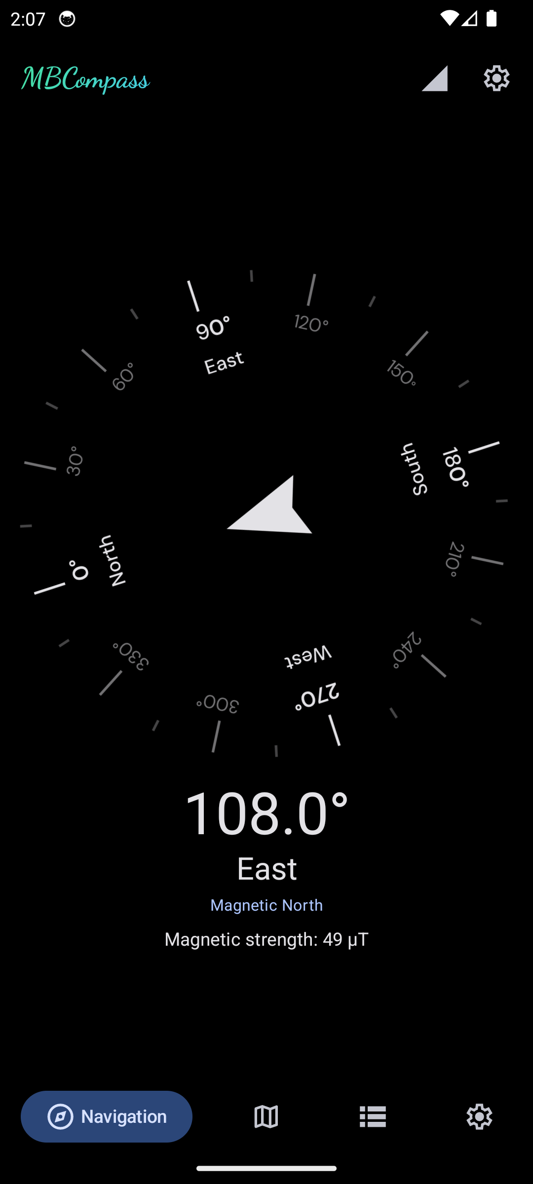
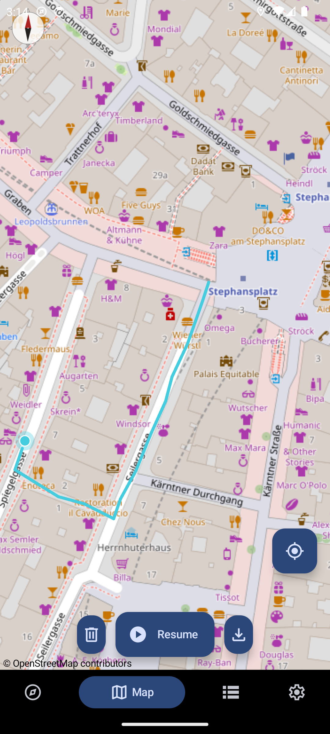
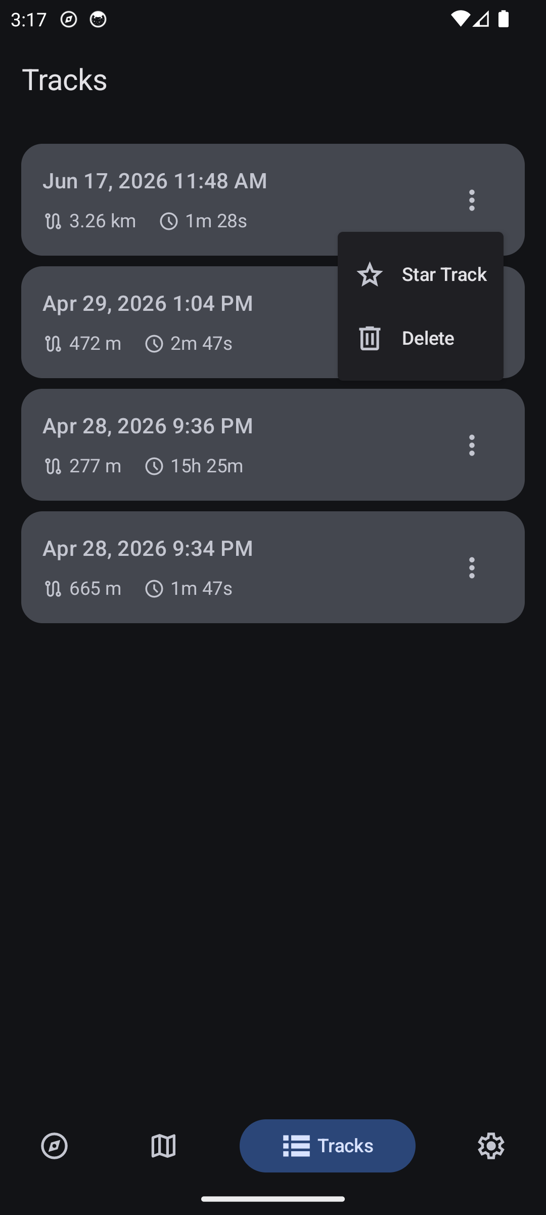
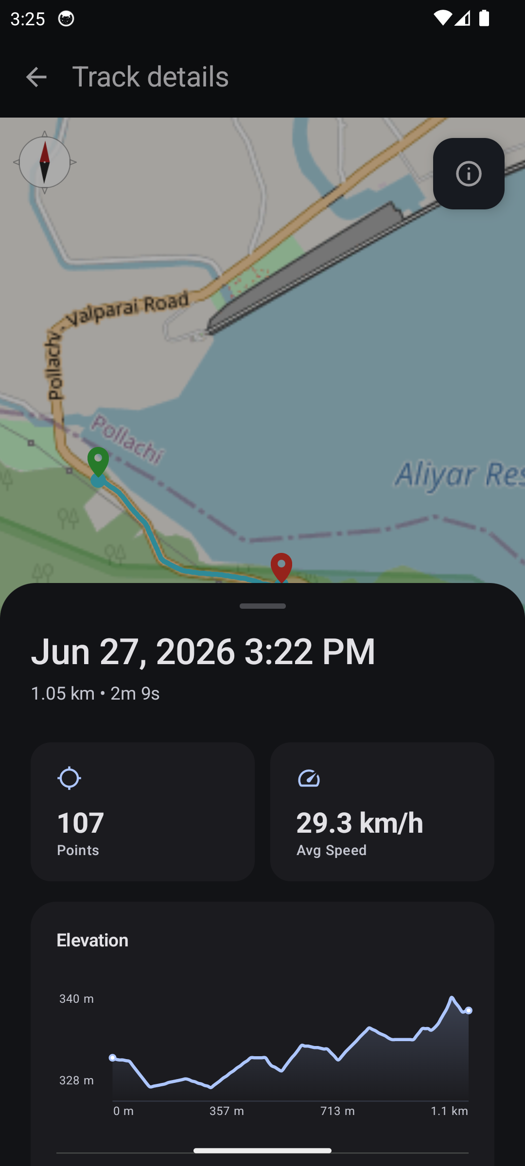
MBCompass is a free, open-source compass and navigation application for Android, aimed at hikers, trekkers and everyday users who want direction and live location without ads, in-app purchases or tracking. It shows true and magnetic north, the current GPS position and magnetic-field strength, blending magnetometer, accelerometer and gyroscope readings for accuracy. Tracks can be started, paused and resumed, drawn live on the map, summarized with distance, duration, speed and elevation stats, and exported as GPX. Maps work offline via Mapsforge files (toggled in settings) or online with OpenStreetMap tiles. The Material Design 3 interface includes themes for light, dark and AMOLED, supports landscape mode, and keeps the display awake while navigating. It runs on Android 6.0 and newer, with an install size of about 2 MB. You can get it from F-Droid, IzzyOnDroid, Google Play, or straight from GitHub releases through Obtainium, which also delivers updates. Topographic contours, bearing-to-waypoint and GPX import are roadmap items, not shipped features.
Should you self-host MBCompass?
MBCompass scores 47/100 on selfhost.directory (how scoring works) and ranks #6 of 7 in Navigation. It has 610 GitHub stars.
It shipped 7 stable releases in the past year. The latest, v1.1.19, came out on 1 October 2026. New versions land roughly every 5 weeks.
Setup is easy: most people get it running in one sitting. It is GPL-3.0-licensed and written mostly in Kotlin.
Its closest alternative on selfhost.directory is Valhalla (71/100, 6 379 stars). It scores higher overall, so compare the two before you pick. See MBCompass vs Valhalla side by side.
Features
- Compass with true and magnetic north
- GPX export
- Keep screen awake
- Landscape support
- Live GPS location
- Magnetic field indicator
- Material Design 3
- No ads, tracking or in-app purchases
- Offline Maps
- Sensor fusion
- Track recording
- Track statistics
MBCompass README
More in Navigation
 OpenRouteServiceSelf-hosted, open-source Java routing API on OpenStreetMap data offering directions, isochrones, time-distance matrices, snapping and graph export.
 Open Source Routing Machine (OSRM)An open-source routing engine you self-host to answer route, matrix, map-matching, trip and tile queries over OpenStreetMap extracts via HTTP.
 OpenStreetMapOpen-source, self-hosted Ruby on Rails app powering the OpenStreetMap website and its XML/JSON editing API, with accounts, GPX traces and diaries, backed by PostgreSQL.
 OpenTripPlannerSelf-hosted, open-source trip planner for scheduled public transit plus walking, cycling and bikeshare, built from GTFS/NeTEx and OpenStreetMap data.
 Project OSRMOpen Source Routing Machine - C++ backend
 roadbookRoadbookMaker is a self-hosted, open-source web app for creating travel itineraries on interactive maps with AI-assisted planning and offline-first design.
 smsSelf-hosted vector tile server serving OSM data from MBTiles with hiking/cycling routing, SAC ratings, and MCP for LLM agents to plan tours.
 Sun-PanelSelf-hosted icon navigation panel and browser start page for servers, NAS boxes and Docker containers, with multi-account isolation and no external database.
 ValhallaValhalla is a self-hosted, open-source routing engine for OpenStreetMap with turn-by-turn navigation, isochrones, matrix computation, map matching, and tour optimization.
 Vanchor-NGSelf-hosted GPS autopilot turning a trolling motor into a virtual anchor with routing and fishing modes — runs offline on Raspberry Pi or in simulation.
 facilmapFacilMap is a self-hosted, open-source OpenStreetMap web map for collaborative maps with markers, routes, live editing, multiple styles, routing, and GPX/GeoJSON import.
 GraphHopperGraphHopper is a self-hosted, open-source OpenStreetMap routing engine with A-to-B routing, isochrones, map matching, and GTFS transit. Runs as Java server or library.
0 comments